Knocked 'em in the Old Kent Road
Alexander Christie
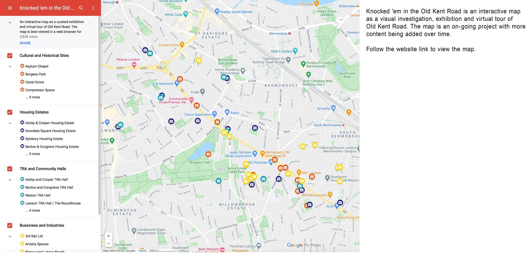
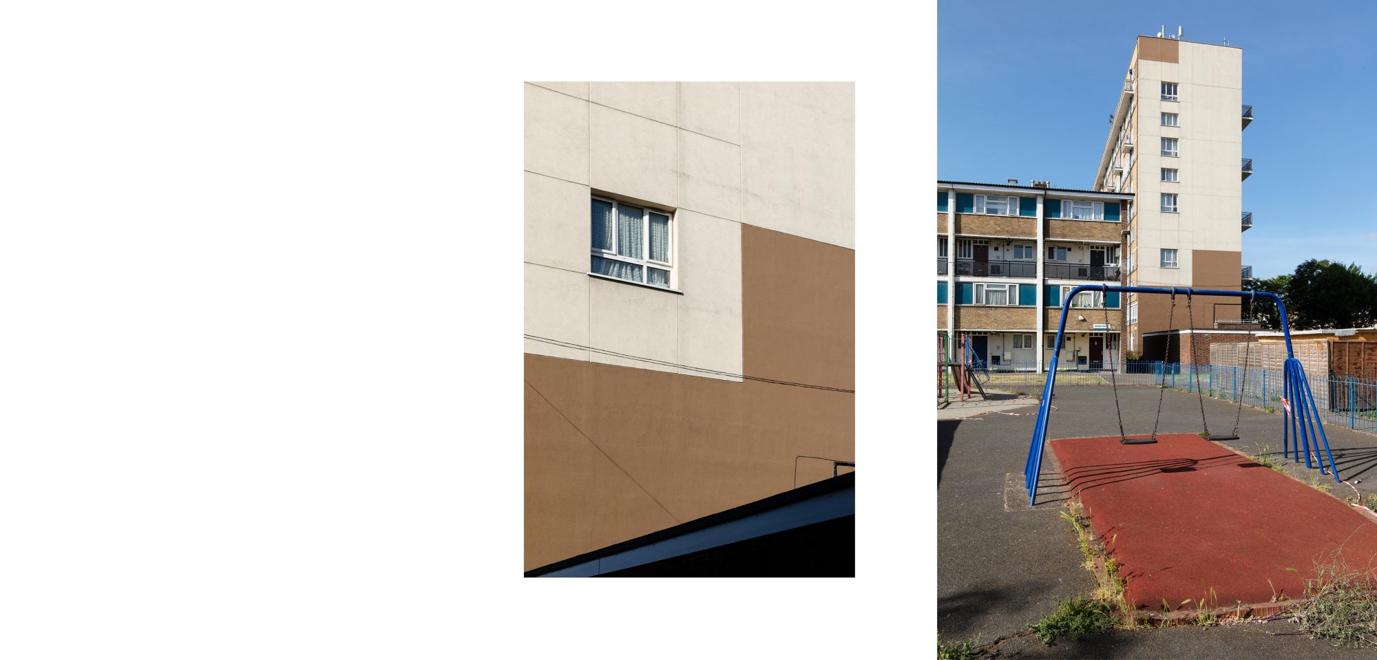
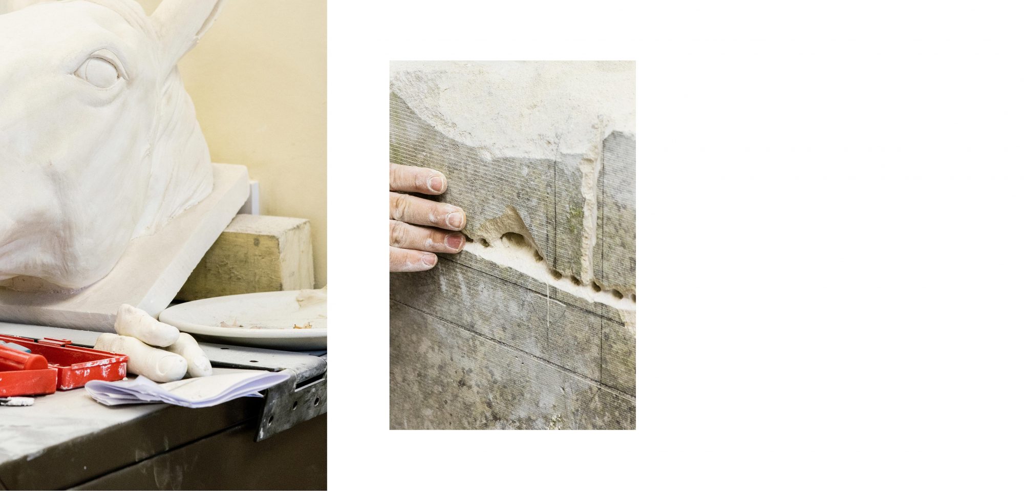
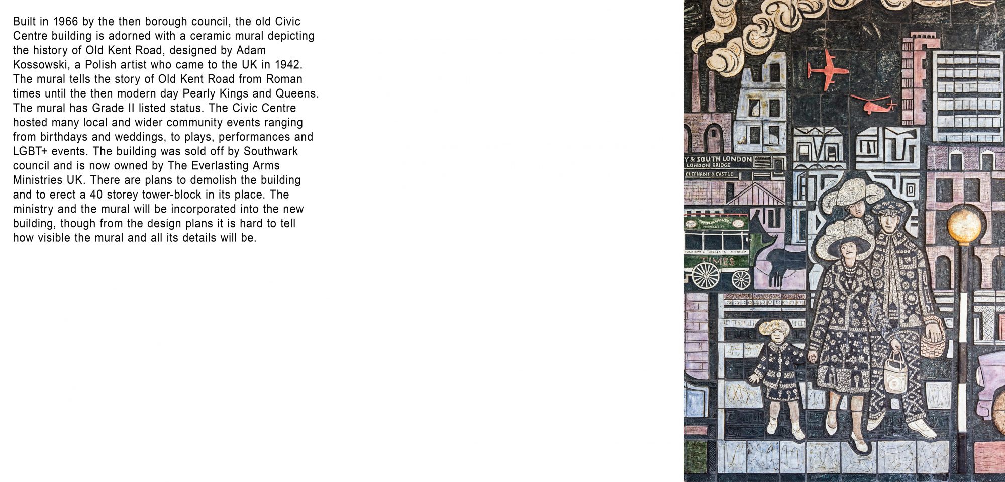
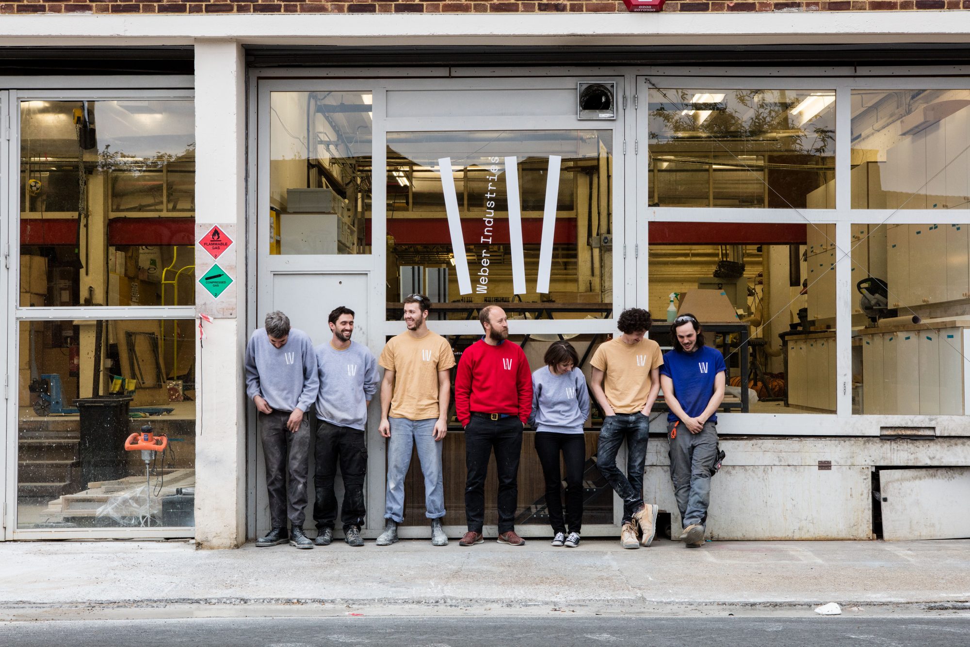
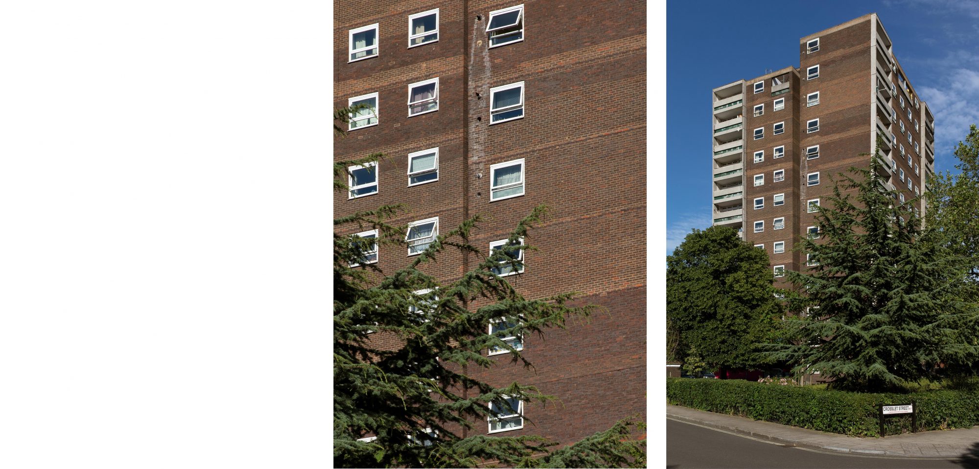
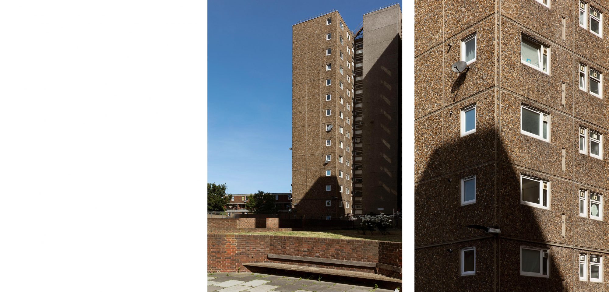
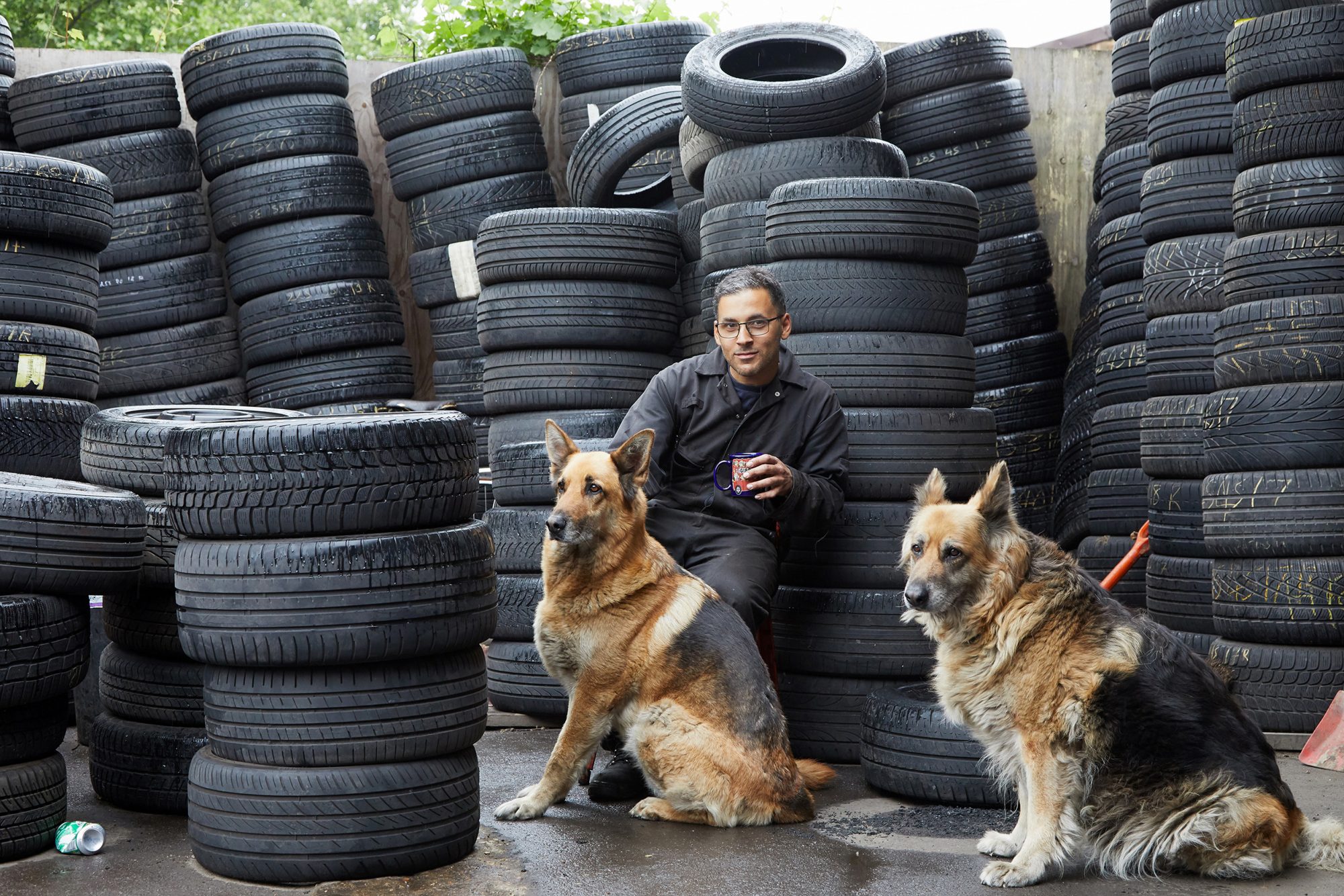
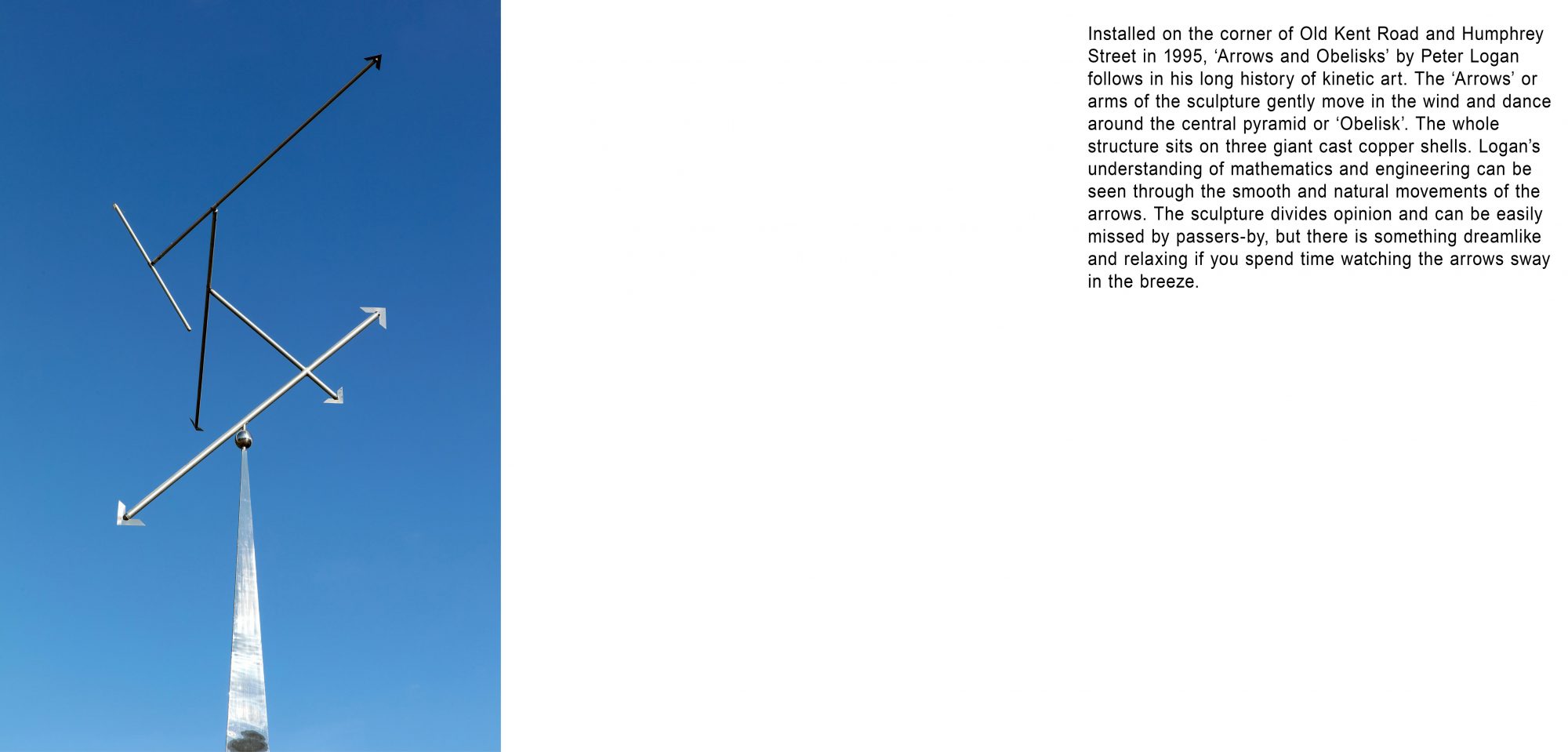
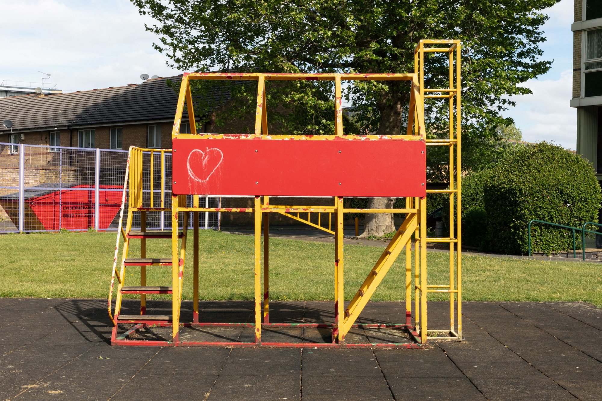
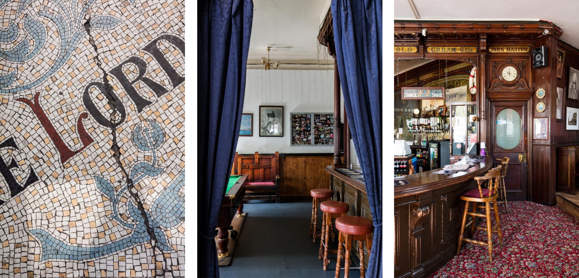
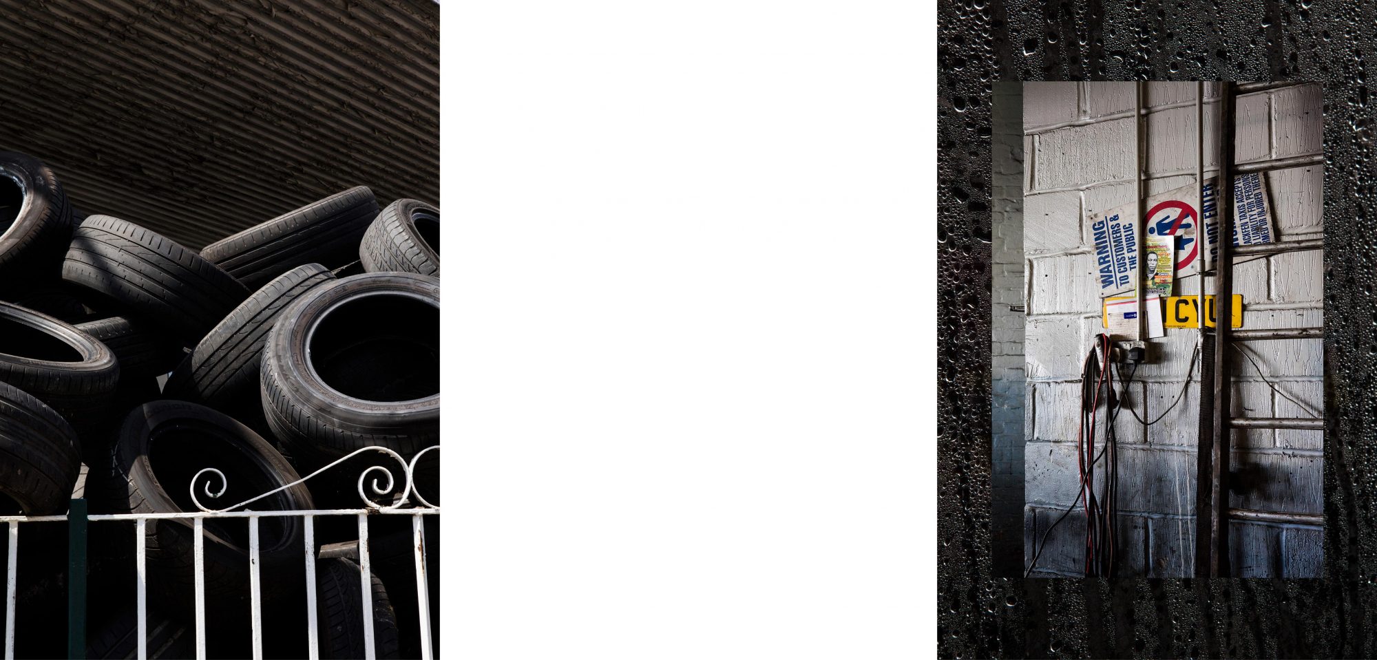
Alexander Christie, working with Local community group Action OKR has built an interactive map as an exhibition and virtual tour of Old Kent Road. The project is a visual investigation, which catalogues the area using his own photography and that of Carmel King. Alongside the photographic studies the map contains information and investigations into the area’s historical sites, housing estates, tenants association halls and businesses. The map is an on-going project with more content being added over time.
It is hoped the map will encourage people to explore the area and experience the various aspects this socially diverse part of London has to offer. With the rapid changing landscape of the city, parts of the map become archival documentation depicting community spaces and businesses disappearing due to redevelopment.
Follow the website link to view the map. For full functionality the map is best viewed in a web browser. Click on the location tabs to discover information and see full image sets.
Artist biography
Alexander Christie was raised on the White City Estate in London. Documenting the environment around him, he went on to investigate working class and social spaces in the city. His work explored housing estates, social centres, working men’s clubs and queer clubs. In 2015 he graduated from MA Fine Art Photography at the Royal College of Art. Since then he balances his professional and art practice in the areas of architecture, interiors and the built environment. His art practice has engaged more with community groups and organisations, with the aim of utilising his skills to help enacting change to communities and areas of the city.
